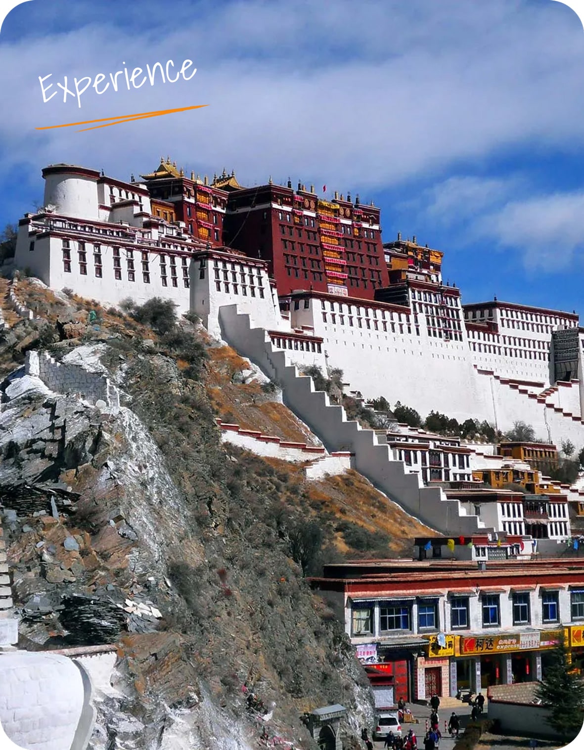
Thorong-La
 Manang, Mustang
 15 Days
Itineraries
Upon arrival in Kathmandu, meeting, and assistance by Kora’s representative at the airport and transfer to Hotel.
(Normal check-in time of the Hotel is 14:00 hrs – early check-in is subject to availability of room).
Overnight at Hotel in Kathmandu.
Drive to Beshishar(823m), continue to Ngadi, Bahundana, Chamje, and continue to Dharapani when the trail narrows and the valley become a deep river gorge. We cross a long suspension bridge and enter the large trading village of Khundi, inhabited by the Gurungs. Above us tower the peaks of Lamjung (6931m), Manaslu (8163m), and Peak 29 (7516m).
Continue drive to Tal and to Dharapani, a small village at the foot of a large waterfall. We cross a large bridge to the village of Dharipani (1943m) where our trekking permit is checked. Overnight at a local lodge in Dharapani.
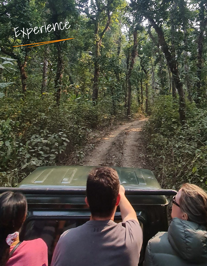
Drive for approx. 8 – 10 hours (four wheel drive).
We may have possible to find a single room.
After breakfast we start trek to Chame 2713m, The trail is now bearing west, Manaslu forming a splendid backdrop and Annapurna II (7937m) appearing occasionally to the south. As we continue to Chame, views of the Annapurna improve dramatically.
Overnight at local lodge in Chame.
Trek for 6 hrs approx, gravel dirt road.
We may have possible to find a single room.
Pisang 3185m, we continually cross the river all day, passing through the narrow and steep-sided gorge. Nearing the village of Pisang, we top a ridge to get our first views of the Manang Valley, a wide U-shaped valley hanging between two lines of snow peaks.
Overnight at local lodge in Pisang.
Trek for 6 hrs approx, gravel dirt road and trekking trail.
Manang (3541m). We spend the morning visiting Braga Monastery. The largest in the district, it has an outstanding display of statues, Thankas, and manuscripts. From here, it is only a short walk to Manang.
Overnight at local lodge in Manang.
Trek for 6-7 hrs approx, gravel road and trekking trail.
We may have possible to find a single room.
A necessary day to rest and acclimatize and explore Manang. The village, of about 500 flat-roofed houses, is picturesquely set amongst spectacular scenery; Annapurna II (7,937m), Annapurna III (7855m), Gangapurna (7485m) to the south; Tilicho (7,134m) and the Grand Barrier to the west: Chulu West (6,420m) and Chulu East (6,558m) to the north.
Overnight at local lodge in Manang.
We may have possible to find a single room.
After an early breakfast, we need to trek up to the village of Khangsar and on to Tilicho Base Camp. The trail cuts through a gnarled gorge with pristine Tilicho Peak shrouded in clouds far above us. The views today is special as we get to appreciate the natural beauty of the Annapurna range all along the way. The trail leads us through small settlements and past the Tore monastery for more breathtaking views of the Khangsar River and the ice barrier before reaching Khangar. After trudging down a steep incline, we finally reached Tilicho Base Camp for our overnight stay at local tea house.
Trek for 6-7 hours approx, trekking trail
We need to make an early start today as we want to catch Tilicho Lake for sunrise. The path leads us uphill at the start although the incline is gradual even a small incline feels a lot more than that at this altitude. Hiking past some landslide areas on the way before climbing a hill covered in switchbacks where at the top a sign reads Tilicho Lake 35 mins. This is a special day with some of the best views; we will have on our journey around the Annapurna Circuit. Tilicho Lake Heavenly, Sacred, Holy whatever, the journey today with Annapurna, Gangapurna’s glacier dome, and the marvelous Grande Barrier to admire. After spending about an hour admiring one of nature’s gifts to the world, we need to move on and make our way back to Tilicho Base Camp. After lunch, it is an easy walk along the riverside, across a steep landslide area, and further down to our overnight stop at local tea house at Shiri Kharka.
Trek for 4-5 hours approx, trekking trail
We take a trail that leads us out on a slow climb for around an hour, the track gently winds up offering inspiring views of the Annapurna II, and Gangapurna, Yaks and mountain horses keep us company in this barren windswept terrain with juniper bushes as the only surviving vegetation around. We continue on a winding trail crossing the river below over suspension bridges and past herder’s stone huts eventually reaching the small settlement of Yak-Kharka.
Overnight at local tea house at Yak Kharka.
Trek for 6 hours approx, Trekking path and small section gravel road
Today is another full day in the high Himalayas, where Blue Sheep and even Snow-Leopards sometimes magically appear. From Yak Kharka we have two options either to stay the night at Thorong Phedi or move up to high camp. By now, we are suitably acclimatized so a stay at a high camp for more stunning mountain views is the goal today, It’s also makes it a lot easier to cross Thorong La pass on the following day. The trail to Thorong Phedi is easy one with only a short climb to negotiate as we near the village. There then follows a stiff climb up to High Camp for around two hours.
Overnights at local tea house at Thorong Phedi or High Camp.
Trek for 5-7 hours approx. trekking path.
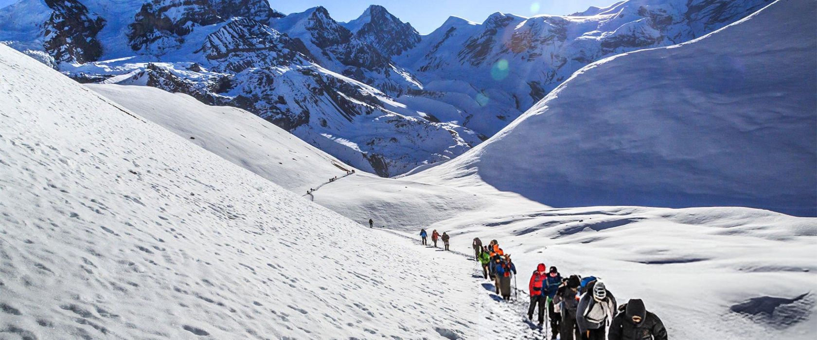
Though the crossing the pass is not technically difficult, we take it slowly to consider the complications of altitude and possible snow. After about four hours, we reach the top of Throng La (5,416m) and enjoy some stunning high Himalayas scenery. The entire Annapurna ranges in the south; the Mukut and Mustang Himal to the west, and the incredibly deep Kali Gandaki valley; and the peaks of Thorungste (6,485m) and Chulu to the north. The descent is steep and rough, but we soon have excellent views of Dhaulagiri (8,167m).
Muktinath 3802m is an important pilgrimage spot for both Hindus and Buddhists – with a Buddhist Gompa and a pagoda-style temple dedicated to Vishnu. The most interesting aspect of the area however is the spot where burning natural gas issues from the rock from the same place as a small spring – earth, fire, and water.
Overnight at local lodge in Muktinath.
Trek for 9- 10 hrs approx. Trekking trail.
We may have possible to find a single room.
The final leg of the trek via Kagbeni offers fine Himalayan scenery and glimpses of the restricted and highly secluded region of the Upper Mustang. Kagbeni itself, situated in peaceful surroundings by the Kali Gandaki River, is sacred to Hindus. The trail leads on the river to Jomsom, a sizeable town that serves as the central administrative and transport hub for the region.
Overnights at lodges, 5 hours approx, dirt road and trekking trail.
Jomsom 2,713m, Fly to Pokhara.
Upon arrival in Pokhara transfer to the Hotel and rest of the day at leisure.
Overnight at Hotel in Pokhara.
Breakfast at Hotel.
Morning: Visit Pokhara city includes a tour of Bindebasini Temple, Devi’s Fall, Gupteshwor Mahadev Cave, Seti Gorge, Tibetan Village + 1 hr boat ride on Phewa lake.
Then transfer to Pokhara airport for the flight to Kathmandu.
Upon arrival in Kathmandu, transfer to Hotel.
Overnight at Hotel in Kathmandu.
Breakfast at Hotel.
Free till departure.
The normal check-out time of the Hotel is 12:00 noon.
Transfer to airport for flight to onward destination.
Make This Itinerary Yours
-
+977-1-5909976 / 5909977 / 5909978
-
info@koratour.com
