
Ghorepani Poon Hill Trek

Pokhara, Ulleri, Ghorepani, Poon Hill, Ghandruk
4 Days
banner

Itineraries

Pokhara drive to Birethanti (1025m) & trek to Ulleri (1960m)

Drive from Pokhara to Birethanti approx 2 hours, start the trek from Birethanti, a large and prosperous town beside the Modi River. We head up the main trail to Sudami where we climb gradually up the side of the valley, reaching Tikhedhunga (1577m), we stop here for lunch before pushing on to Ulleri. From Tikhedhunga, the trail crosses a stream and then ascends a steep stone staircase to the large Magar village at Ulleri. Distance covered approx 12 km approx, Altitude gain 935m 5-6 hours.

Trek to Ghorepani (2860m)

The trail crosses two sparkling streams before making a short, final climb to Nangethanti. Your lunch spot in Nangethanti. Thanti is a Nepali word meaning “rest house on the way”. In the winter the trail may be covered with snow. From Nangethanti about one hour trek, climb to Ghorepani at 2850m. Arrive at the top of the Ghorepani pass.
Distance covered approx 9.1 km, altitude gain 900m 5 hours.

Ghorepani to Poonhill (3210) and Tadapani (2630m) Sitku (2050m)

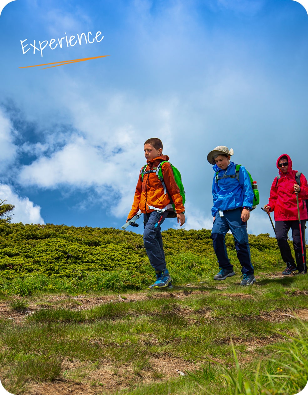
Rise early morning and start to climb for one hour to the famous viewpoint of Poon Hill (3210m) which provides unobstructed views of Himalayan panorama and sunrise over the high Himalayas. You can see many of White Mountain peaks from Poon Hill. After sunrise, you will return to our lodge and time for breakfast. Ghorepani means “horse water” and it is no doubt a watering stop for the horses, mules, and ponies that carry loads between Pokhara and Jomsom. From Ghorepani the trail climbs south path through the deep forests and finally emerges on a grassy knoll which offers good mountain views, including views of Machhapuchhare, climbing along the ridge in pine and rhododendron forests up to 3030m then descend to at a second pass also called Deurali, at 2960 meters.

The trails along the ridge hide the mountains as it makes a steep, sometimes treacherous, descent on a narrow path alongside the stream, as the descent continues. The stream has some clear pools alongside the trail and finally becomes a series of waterfalls over a jumble of boulders. The steep descent becomes the more gentle way to reaches Banthanti and stops for lunch.

From Banthanti, the trail follows the stream down to a bridge where it starts climbing, leaving the moist high mountain forests and entering a field of cane, making some ups and downs past to a vantage point “Tadapani (2630 meters) that offers a brief view of the mountains. Tadapani means “far water”. It used to take the villagers more than half an hour to fetch a load of water in the past. Distance covered approx 13 km, altitude descends 810m 7-8 hours.

Sitku – Ghandruk – Pokhara

Trek an hour to Ghandruk a huge Gurung village at 1940 meters, is the second-largest Gurung village in Nepal and is a confusing cluster of closely-spaced, slate-roofed houses. There are neatly terraced fields situated both above and below the town. The views of Annapurna South from here are outstanding. Machhapuchhare, seen from here in its fishtail aspect. continue to Kimche or Syauli Bazar, drive to Pokhara 2 hours. Transfer to hotel.


Make This Itinerary Yours

Love this itinerary and want to learn more about availability and prices? You can also request tweaks to it to make it your own?
Make an Enquire

  • +977-1-5909976 ‬/ 5909977 / 5909978
  • info@koratour.com